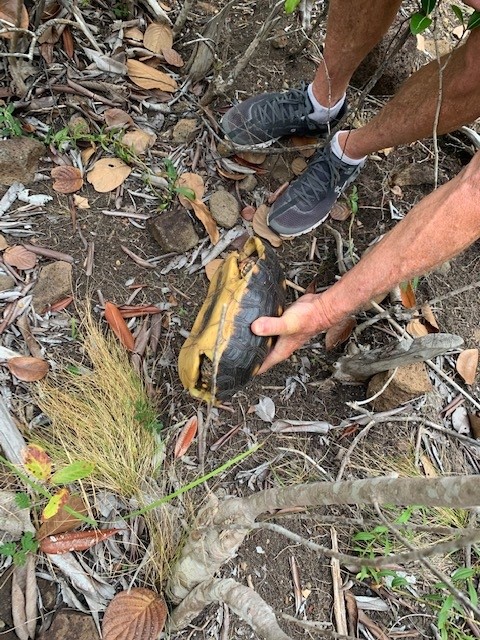
We’ve decided to climb Mt. Peggy today, or Ma Peggy as it is known. Officially it is Mt. Diamond on the map just under 900 feet. It looks higher than Mt. Taboi on Union but ain’t – Union has it by 100 feet. Maybe it just seems bigger since we have to walk all the way to Friendship Bay on the other side of the island to get to the access point.
Like a lot of things here, it is poorly marked but thankfully we have notes from a local expat’s web site that guide us to the entrance on private property. We start climbing.
It’s a nice grade most of the way up with one lookout to the southeast about halfway up. Steep sections at the end. There is supposed to be a trail that takes you back down to Lower Bay so we don’t have to backtrack but we don’t see it on the way up. Break for peanut butter and banana sandwiches Christy made before departure.
The track up is well worn and marked up here as it follows the ridgeline of the mountain. It gets steeper and narrower and soon we’re on a pretty narrow edge but thankfully safe because of the trees that line it. Not sure my vertigo would let me march up that ridge without the protection of the trees. Suddenly we scramble up some large boulders and in the words of Everest climbers – there was nowhere else to go. It’s pretty spectacular – would be even more awesome on a sunny day but we’re thankful for the cloud cover which kept our march mercifully cool.
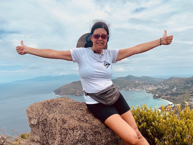
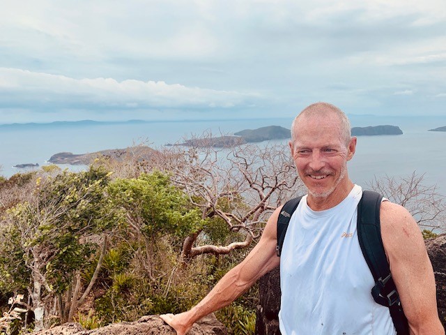
Christy poses but I get the heebie jeebies from the exposure and need to get down soon. Captain Ian and I lamented about the loss of balance, reaction time, etc. with age that ends up giving you vertigo. With my shoddy knees, I have to pick my way down carefully.
Once safely off the ridge we see what could be a path to Lower Bay but not sure. I scratch my way along it (hoping there are none of those poison ivy plants here) and then do see the markings for Lower Bay. This is the way down.
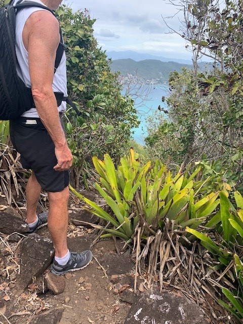
It’s pretty steep but safe enough. Slippery with dry leaves and loose rocks but we scramble on. The trail is not very clear here but we find what appears to be the dry riverbed mentioned in the notes. Looks like footprints here too. Another 50 metres and we scramble out onto a lightly used concrete road that will take us down to Lower Bay – looks like we are going to live.
I walk back up the road a bit and find what looks like the real trail from Lower Bay to the mountaintop – you would definitely need to know where you’re going to find it.
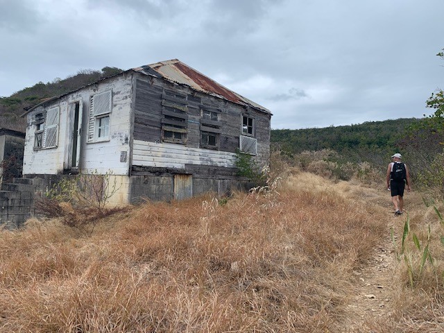
On the way down we chat with a local man and woman who ask us how was Mt. Peggy. Very nice.
We’re at the bottom in Lower Bay. Near here is where we stayed on our honeymoon 25 years ago. It looks familiar and we walk to the end of the beach where we think it was but it is certainly not obvious. Perhaps it has gone.
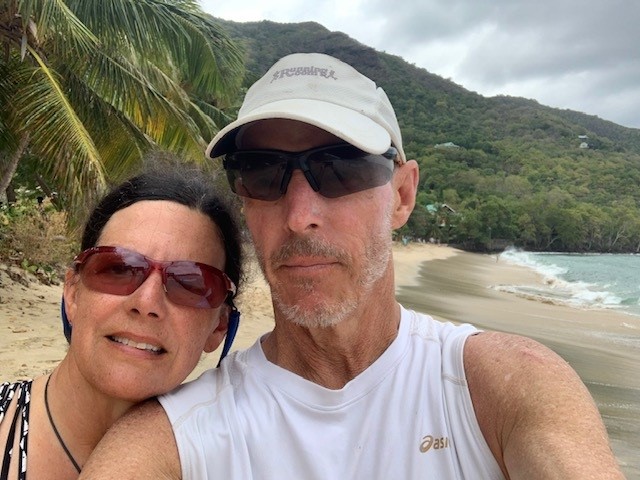
We walk along the beach but decline to jump in the ocean – after 2 hours of hiking in the heat we’re cool now and don’t need a swim, we’ll wait for the freshwater pool rather than walk back wet. Spot a couple good restaurants for dinner tomorrow night. Tonight is dehydrated food night.